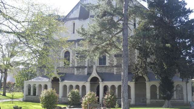

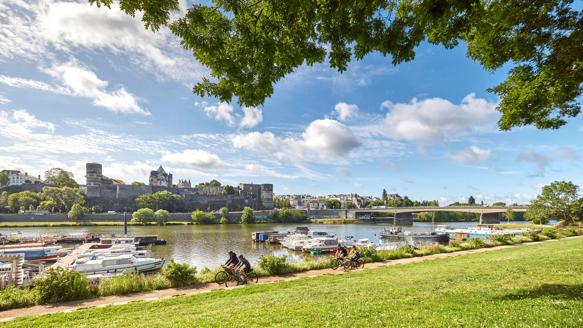
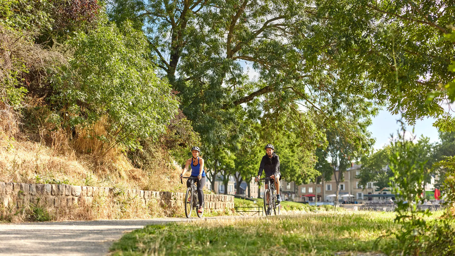
1Domaine national du Château d'Angers
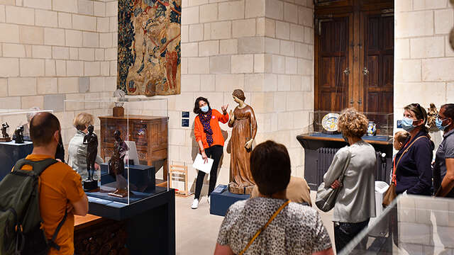
2Musée Jean-Lurçat et de la Tapisserie contemporaine
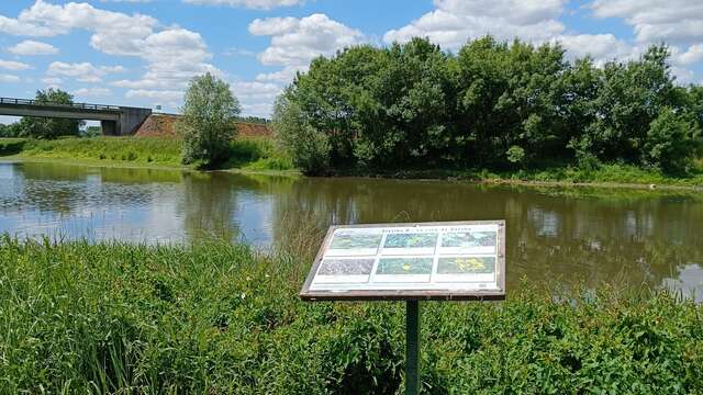
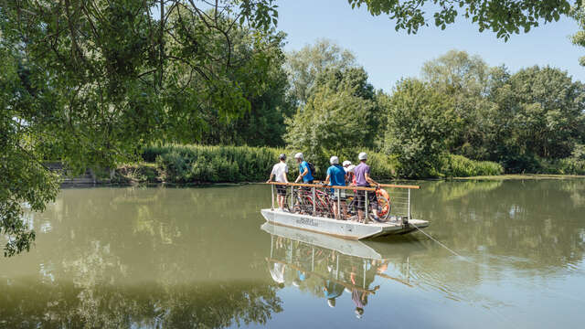
3L'île Saint-Aubin et son bac
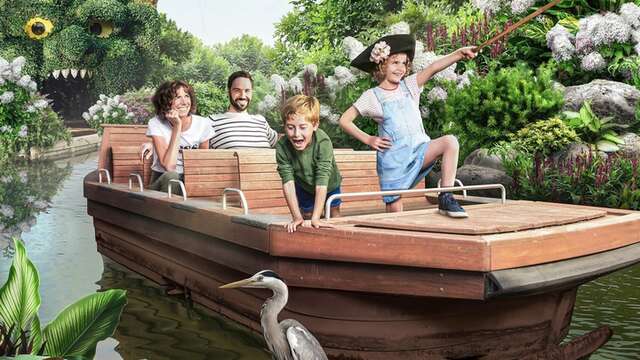
4Terra Botanica
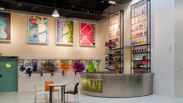
5Giffard Espace Menthe Pastille
6La Cabane du Chat-qui-Pêche
7Cantenay-Épinard, la nature aux portes de la ville
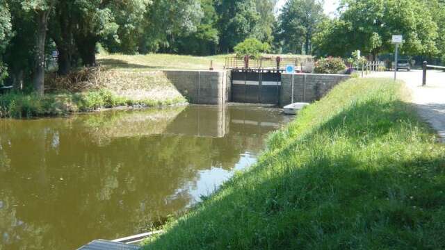
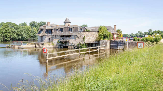
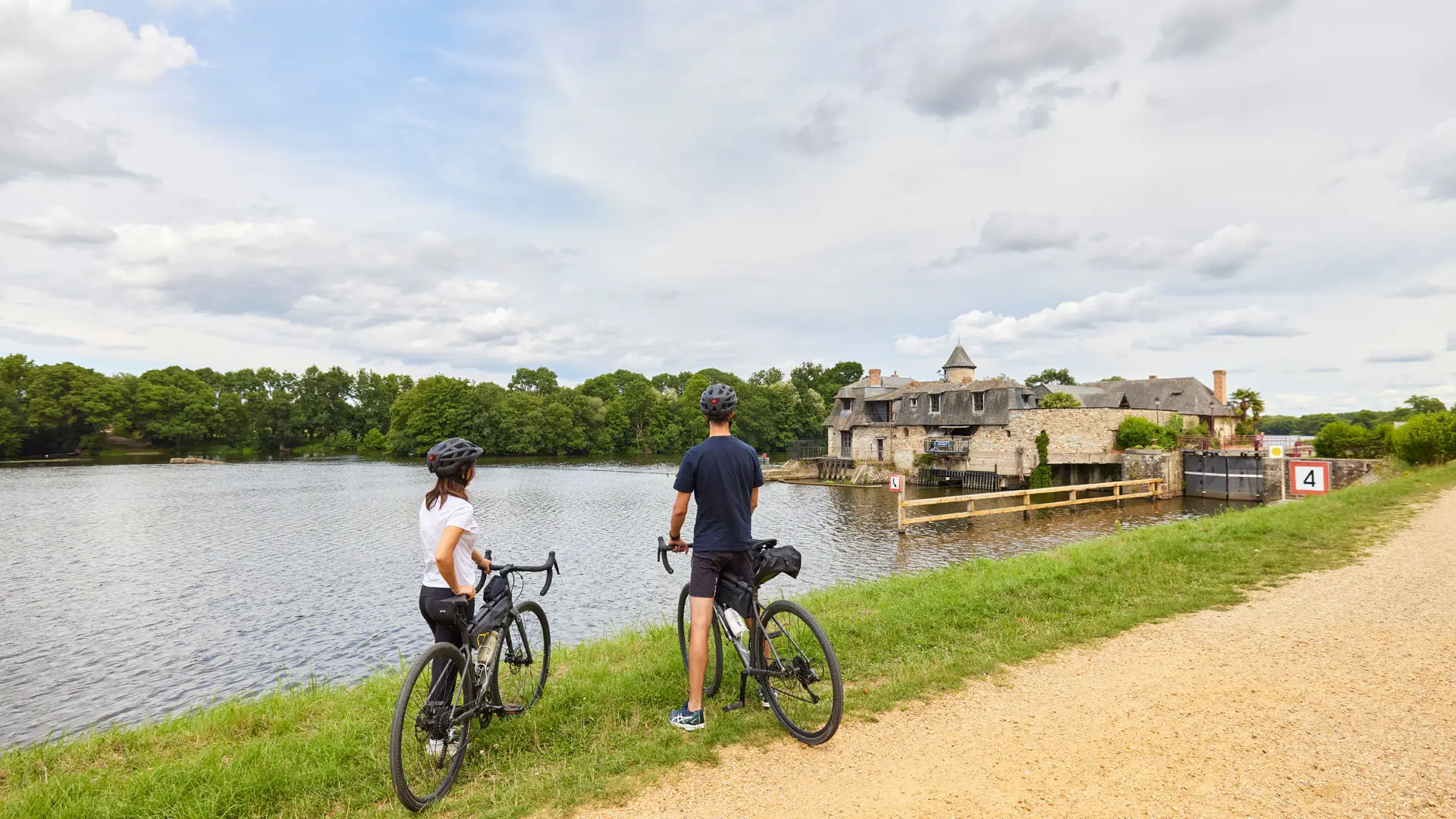
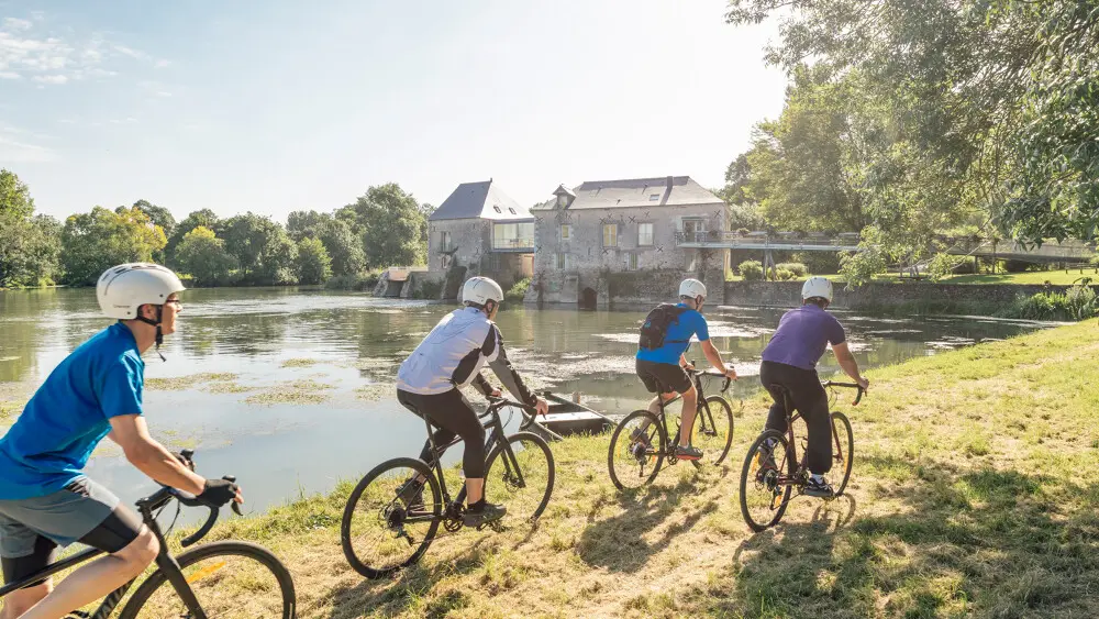
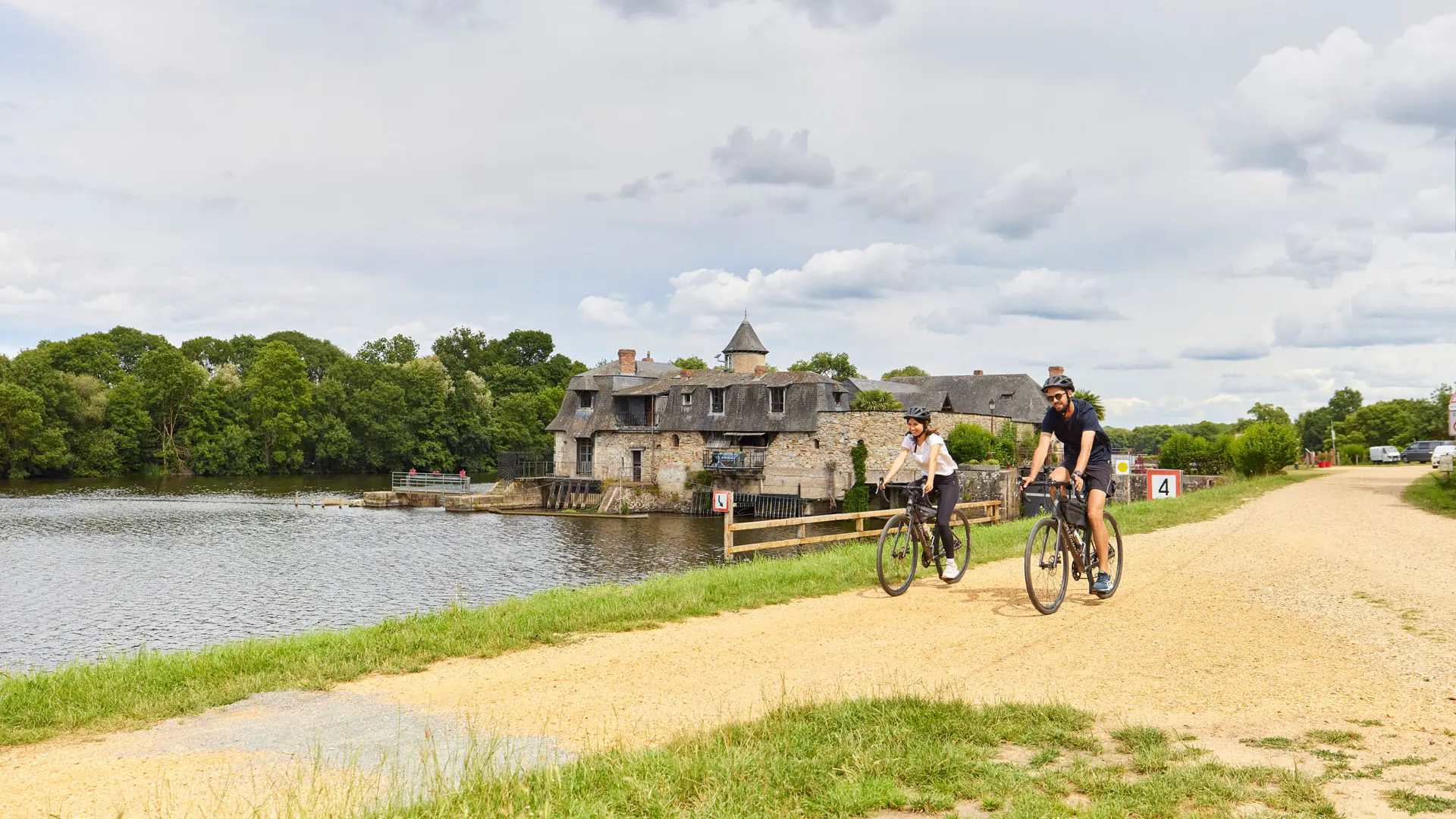
8Écluse de Montreuil-Belfroy
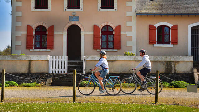
9Montreuil-Juigné, une ville à la campagne
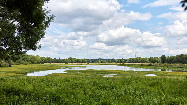
10Marais de Montreuil-Juigné
11Parc de la Guyonnière
12Écluse de la Roussière
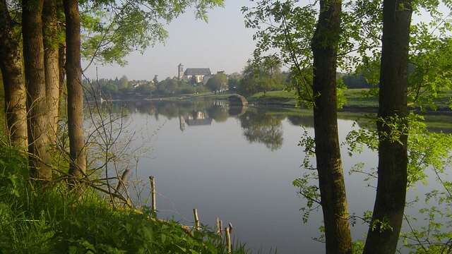
13Village de Grez-Neuville
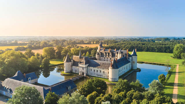
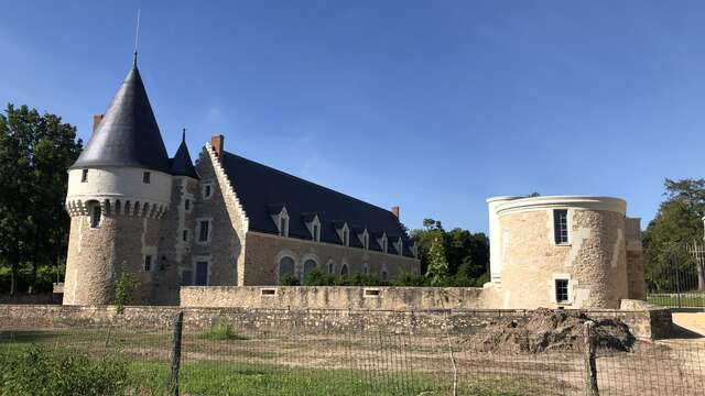
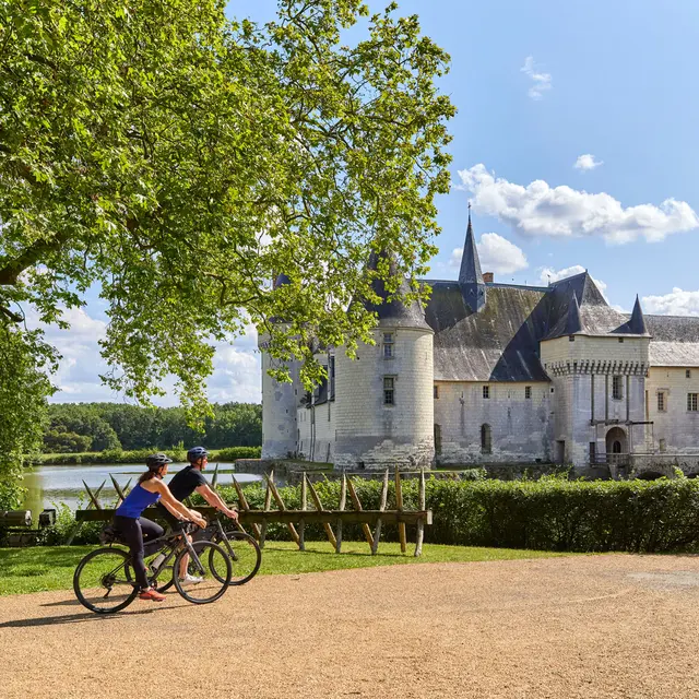
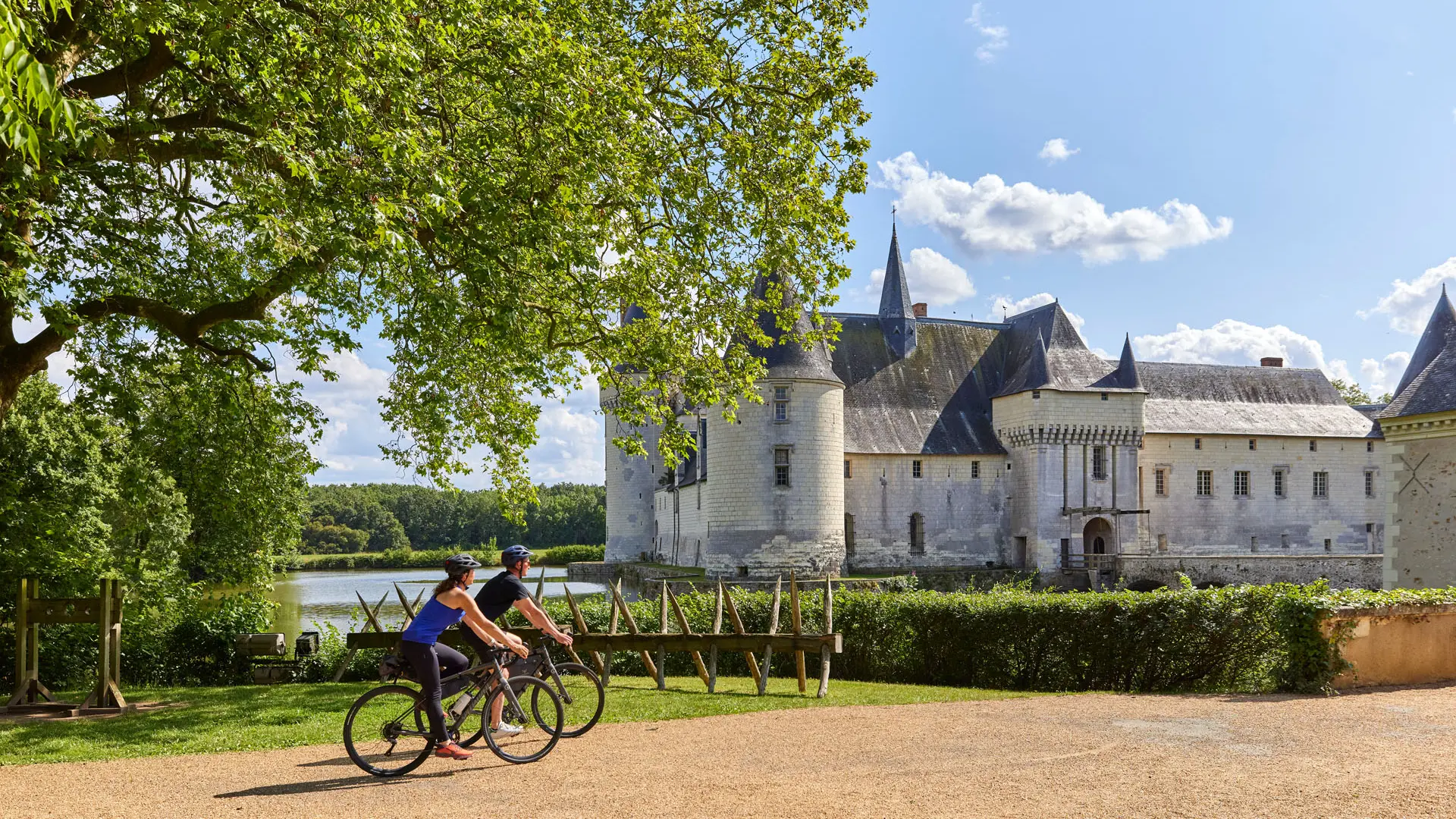
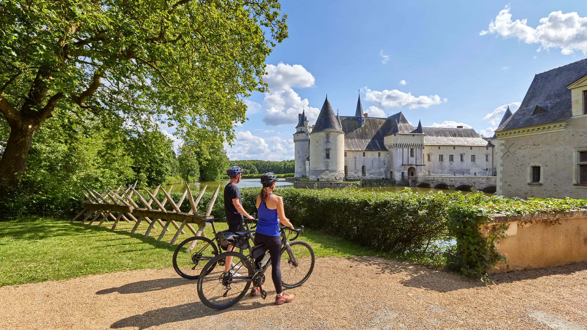
14Château du Plessis-Bourré
15Marais pédagogique de Briollay
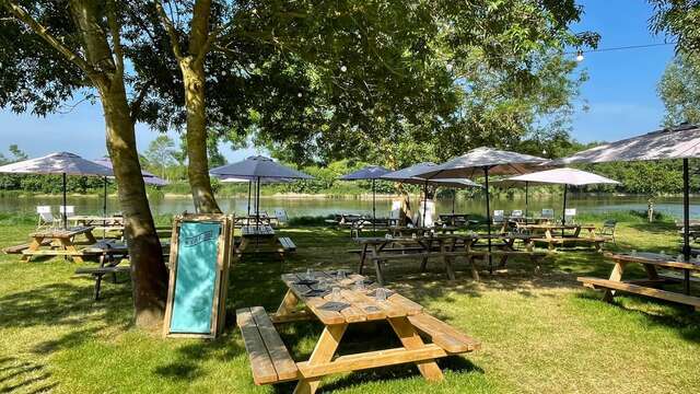
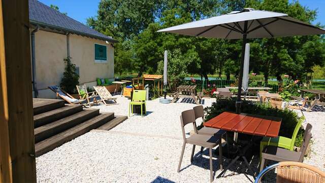
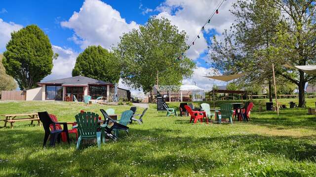
16Guinguette Le Kiviv
17Bac à chaînes de la Roche Foulques
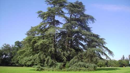
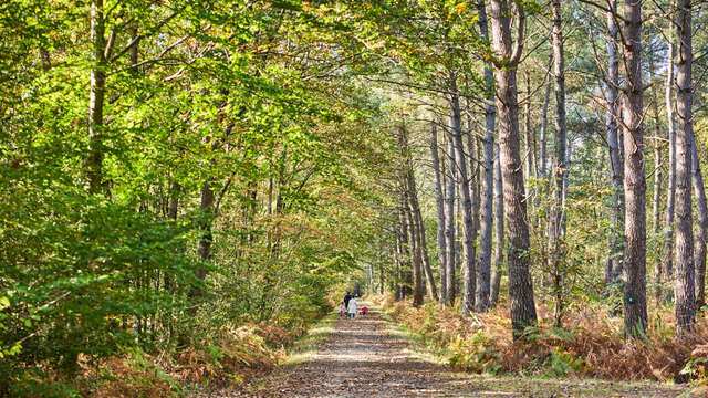
18Forêt communale de Soucelles
19Bac piétons-cyclistes
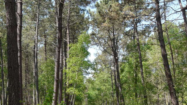
20Forêt de Boudré
21Château Le Verger
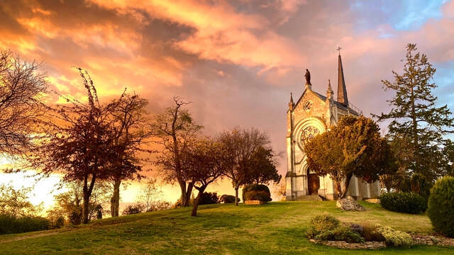
22Chapelle de Matheflon
23Guinguette du Père Chapuis
24Guinguette du Moulin de la Boire
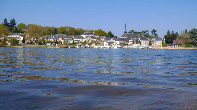
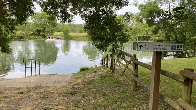
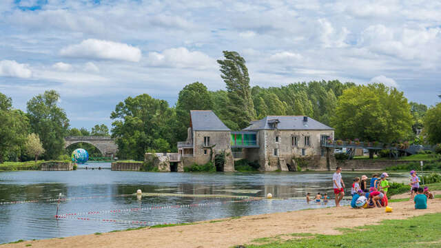
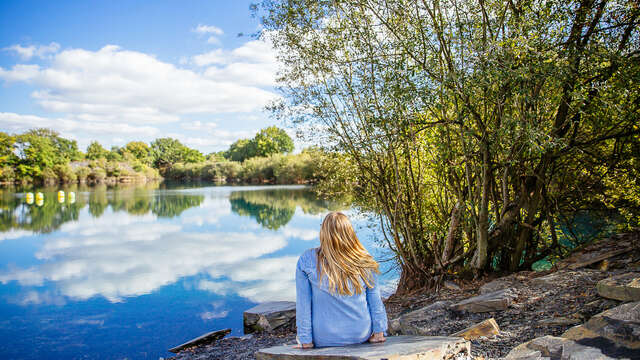
25Baignade de Villevêque
27Musée-château de Villevêque
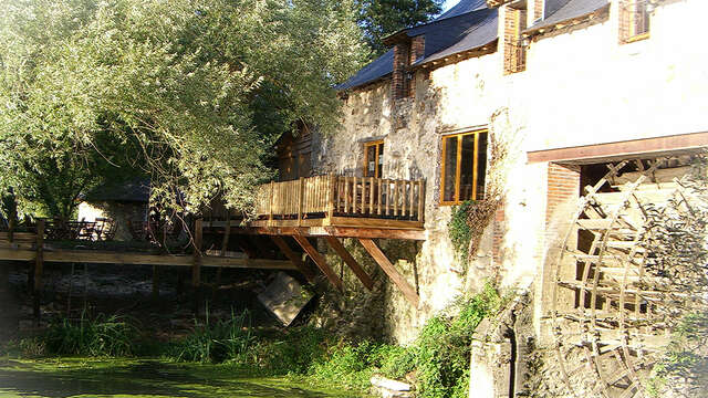
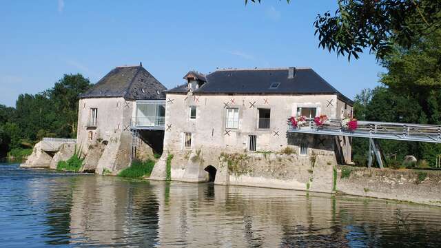
28L'Engrenage, moulin de Villevêque
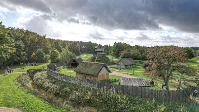
29Château à Motte
30Parc de Pignerolle
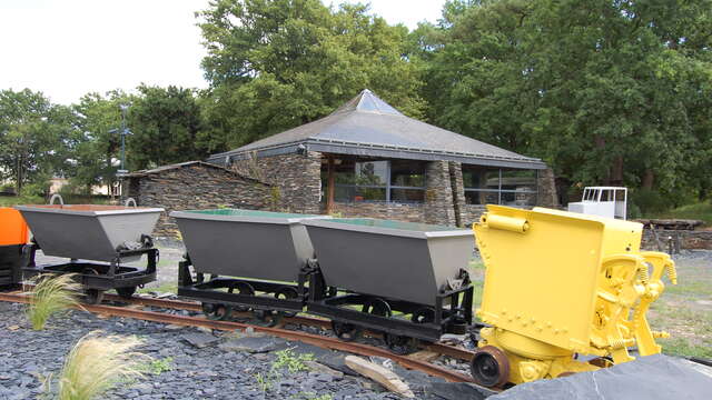
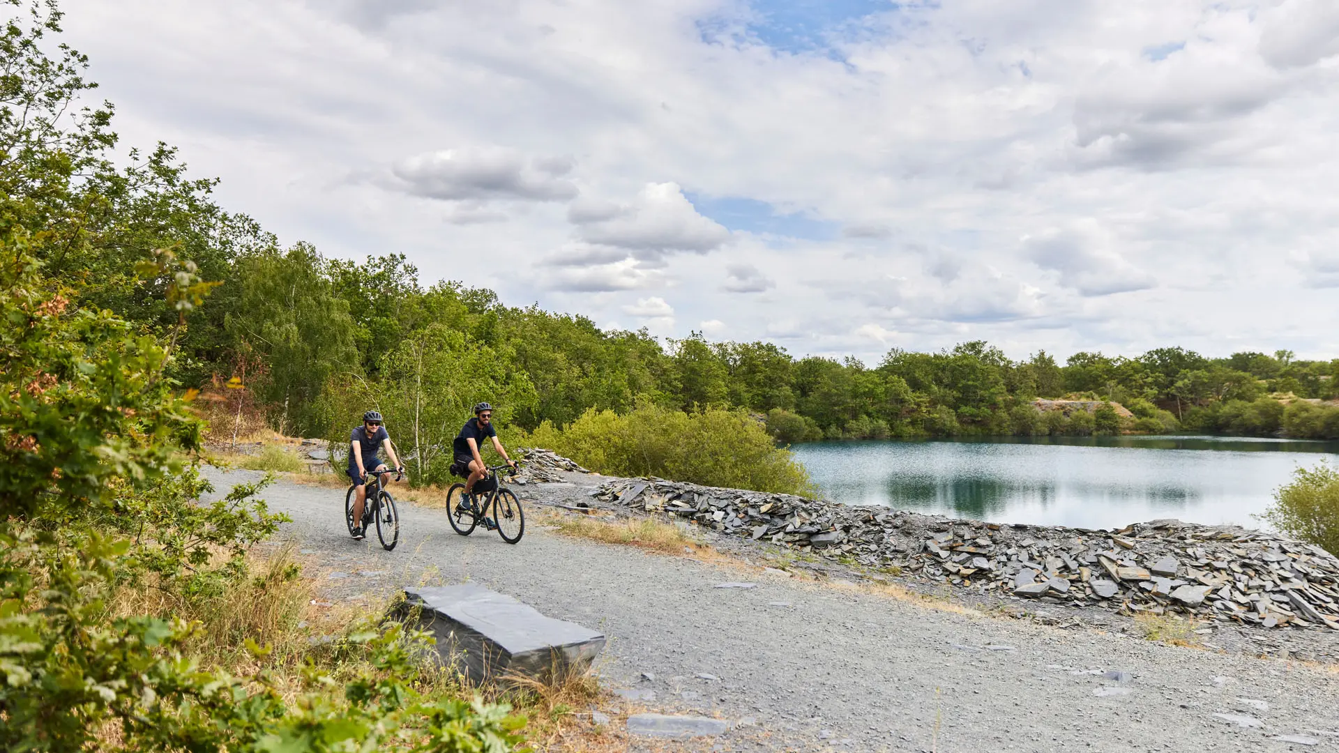
31Musée de l'Ardoise
32Parc des Ardoisières
33Jardin du Mail
34Maison des Vins d'Anjou-Angers-Saumur